 Catálogo de Datos Abiertos Geoespaciales
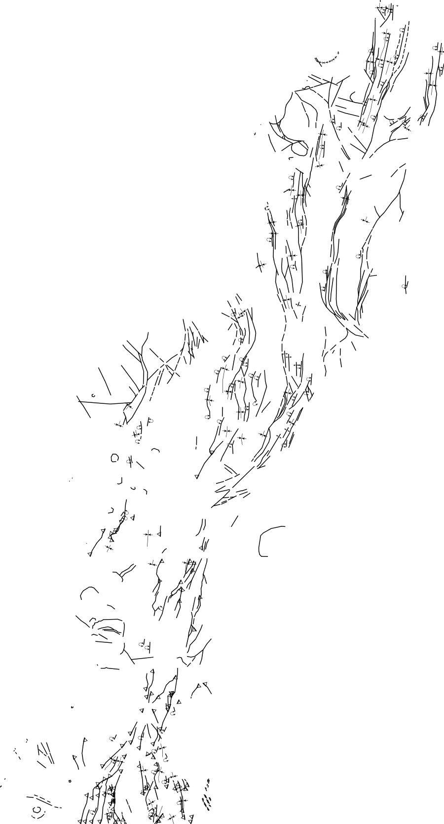
NOA Fallas 1M
Simple
- Date (Publication)
- 2021-09-29T12:22:12
- Status
- Completed
+54 11 5670-0100
https://sigam.segemar.gov.ar
- Maintenance and update frequency
- As needed
- Theme
-
- SEGEMAR
- SIGAM
- Geología
- Medio Ambiente
- Recursos Naturales
- e1M.NOA.Fallas
- Access constraints
- Other restrictions
- Other constraints
-
La información y los datos producidos por el SEGEMAR, y publicados en SIGAM, están disponibles bajo la Licencia Creative Commons Atribución 4.0 Internacional (CC BY 4.0). https://creativecommons.org/licenses/by/4.0/deed.es
Se permite su uso, copia, modificación y redistribución (incluidos productos derivados), siempre que se reconozca debidamente la autoría institucional y se cite la fuente original.
- Spatial representation type
- Vector
- Denominator
- 1000000
- Topic category
-
- Geoscientific information
))
- Reference system identifier
- CRS:84
- Reference system identifier
- EPSG:4326
- Distribution format
-
-
(
)
-
(
)
- OnLine resource
-
sigam:e1M.NOA.Fallas
(
OGC:WMS
)
NOA Fallas 1M
- OnLine resource
-
sigam:e1M.NOA.Fallas
(
WWW:LINK-1.0-http--link
)
NOA Fallas 1M
(WFS). El conjunto de datos está publicado en el servicio de descarga (WFS) disponible en
- OnLine resource
-
sigam:e1M.NOA.Fallas
(
WWW:DOWNLOAD-1.0-http--download
)
NOA Fallas 1M
(SHAPE-ZIP)
- OnLine resource
-
sigam:e1M.NOA.Fallas
(
WWW:DOWNLOAD-1.0-http--download
)
NOA Fallas 1M
(GEOJSON)
- OnLine resource
-
sigam:e1M.NOA.Fallas
(
WWW:DOWNLOAD-1.0-http--download
)
NOA Fallas 1M
(CSV)
- OnLine resource
-
sigam:e1M.NOA.Fallas
(
WWW:DOWNLOAD-1.0-http--download
)
NOA Fallas 1M
(KML)
- Hierarchy level
- Dataset
- Statement
- Fuente: Zappettini, E.; Miranda-Angles, V.; Rodríguez, C.; Palacios, O.; Cocking, R.; Godeas, M.; Uribe-Zeballos, H.; Vivallo, W.; Paz, M.M.; Seggiaro, R.; Heuschmidt, B.; Gardeweg, M.; Boulangger, E.; Korzeniewski, L.; Mpodozis, C.; Carpio, M.; Rubiolo, D. 2001. Mapa Metalógenico de la Región Fronteriza entre Argentina, Bolivia, Chile y Perú (14ºS-28ºS). Servicio Nacional de Geología y Minería, Publicación Geológica Multinacional, No. 2. 1 mapa escala 1: 1.000.000. Santiago de Chile. https://repositorio.segemar.gov.ar/handle/308849217/2973
- File identifier
- d93337dca82f62f24c725b63ac1f43c4ed689247 XML
- Metadata language
- Spanish; Castilian
- Character set
- UTF8
- Hierarchy level
- Dataset
- Date stamp
- 2026-05-15T15:47:41
- Metadata standard name
- ISO 19115:2003/19139
- Metadata standard version
- 1.0
+54 11 5670-0100
https://sigam.segemar.gov.ar
Overviews
Spatial extent
Provided by